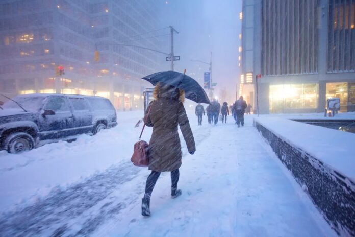
A major winter storm is poised to impact a vast swathe of the United States, potentially affecting over 160 million people from Friday through next Monday. The storm will bring a mix of snow, ice, and extreme cold, but precise predictions are shifting rapidly. Why?
The Complexity of Winter Weather Forecasting
Weather forecasting is inherently difficult, but winter storms introduce unique challenges. The core issue lies in the intricate interplay of atmospheric forces: Arctic air colliding with moisture-laden systems. When these elements combine, they produce snow, sleet, or freezing rain, but where and how this happens is a moving target.
The current storm’s unpredictability is linked to whether a cold air mass from the Arctic will “phase” with an eastward-moving low-pressure system. If these systems merge, they will amplify the storm’s intensity and alter its trajectory. Complicating matters further, high-pressure systems over Alaska are influencing downstream weather patterns. In essence, many variables are converging, making accurate predictions difficult.
How Weather Models Work (and Why They Differ)
Forecasters rely on sophisticated computer models to simulate atmospheric behavior. The U.S. National Weather Service and the European Center for Medium-Range Weather Forecasts (ECMWF) use different models, which can yield divergent outcomes. The ECMWF is generally considered more accurate, but all models are approximations.
These models don’t predict the future perfectly because they rely on estimating complex physical processes in the atmosphere. Different weather agencies prioritize different modeling techniques based on their regional weather patterns. The U.S., for example, emphasizes tornado prediction, while the U.K. focuses on other phenomena.
Data quality also matters. Regular balloon launches provide vital atmospheric snapshots, but staffing shortages and equipment issues in some areas (like Alaska) can reduce data resolution. Despite these limitations, using a range of models provides a more comprehensive view of potential scenarios. As the storm approaches, the models are converging, suggesting the previously feared “phasing” will likely occur.
The Unpredictable Nature of Storm Bands
Even as forecasts improve, localized variations remain. Snow and rain often arrive in narrow “bands,” and predicting exactly where these bands will form is extremely hard even on the day of the storm. These bands can mean the difference between a foot of snow and none at all just a few miles apart. Tiny changes in temperature or airflow can have significant consequences on the ground.
What to Expect
Given these uncertainties, those affected by the storm should expect shifting forecasts. While predictions are becoming more accurate as the event nears, surprises are still possible. The best approach is to monitor updates closely and prepare for a range of outcomes.
As meteorologist Alan Gerard puts it, “We’re predicting the future. Have any of you tried to predict the future lately?”
Ultimately, forecasting is an imperfect science. Despite the challenges, models are improving, but the inherent complexity of the atmosphere means some level of uncertainty will always remain.
